Stone Wall of Oritto
| Area | Summit Caldera |
|---|
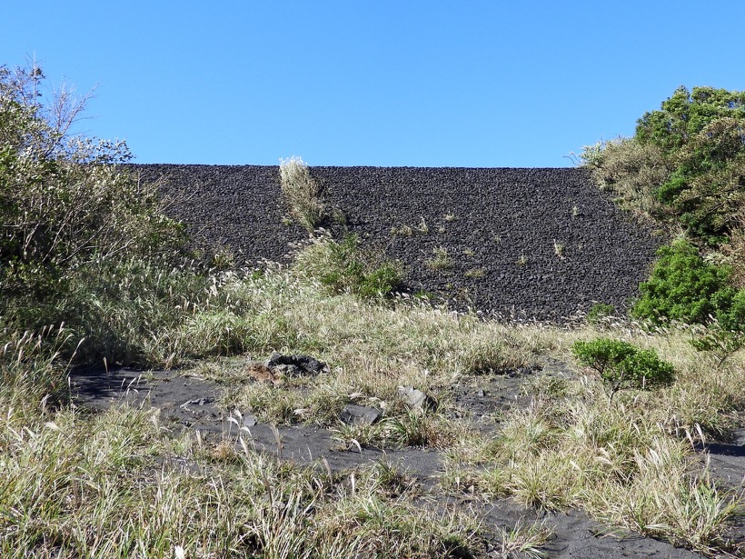
After entering the "Omote-Sabaku-Desert" Course from the Outer Ring Mountain Observatory and walking along the caldera wall for about 500 meters, you will see a 20m wide, 3m high stone wall built into a break in the hills of the Outer Ring Mountain on your right. This is the entrance to the road that leads down to Nomashi and is called "Orit".
In the 1950-51 eruption, lava flows from the top of Mt. Mihara spread to the northwest of the caldera floor, filling the surface desert and approaching the outer rim. In the northwestern part of the outer rim of the mountain, the caldera wall was very low, and there was a possibility that the lava flow would overflow from there and flow down to the Nomashi. In order to prevent this from happening, people piled sandbags and stones on the low point and built a dike. In the end, the lava flow came close to the outer rim of the mountain, but did not overflow.
The initial height of the stone wall was lower than today's, but it was gradually reconstructed and became what it is today. In addition, a lava conduit dike has been constructed downstream to prevent damage from lava flows to Nomashi.
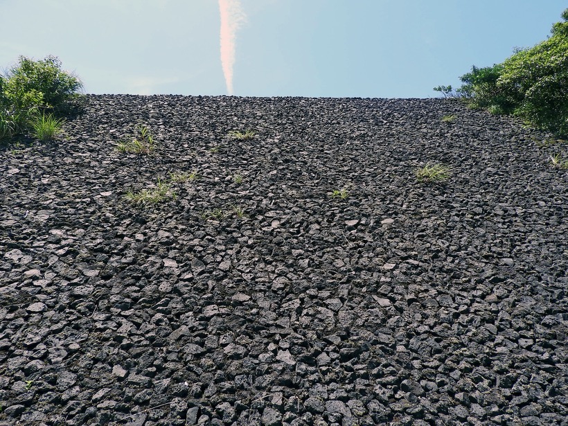
Surface of a stone wall
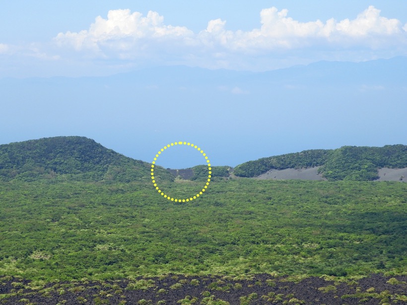
caldera wall