Akadare (Red Valley)
| Area | Summit Caldera |
|---|

"Akadare" is situated at the head of a deep valley extending south-westwards from a break in the summit caldera, the outer rim of the mountain.
Around the 8th century, an eruption near the outer rim of the mountain caused scoria to fall and form a cone. The red rust-coloured scoria hills were eventually scoured by erosion, exposing the interior of the cone on both sides and creating a red valley.
Later, in 1778, lava flowed from the southern foot of Mt. Mihara, filled the southern part of the caldera and then flowed over the caldera wall into this valley. The lava flowed down along the valley in a south-westerly direction for about 2km. Looking at "Akadare" from the side, a thick section of 1778 lava can be observed.
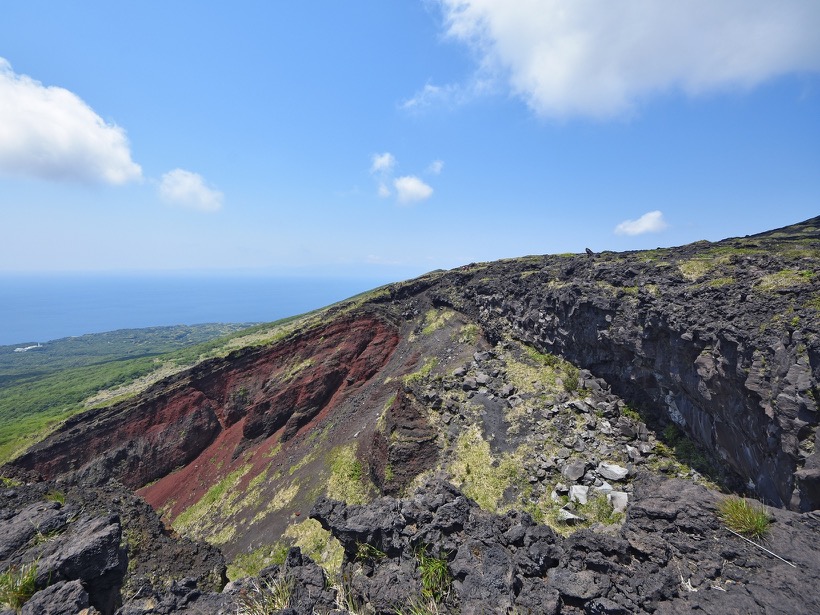
"Akadare" seen from the south-west
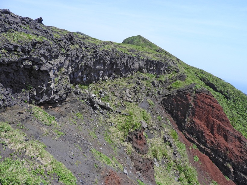
"Akadare" seen from the north-west