Cape Nagane
| Area | Motomachi |
|---|
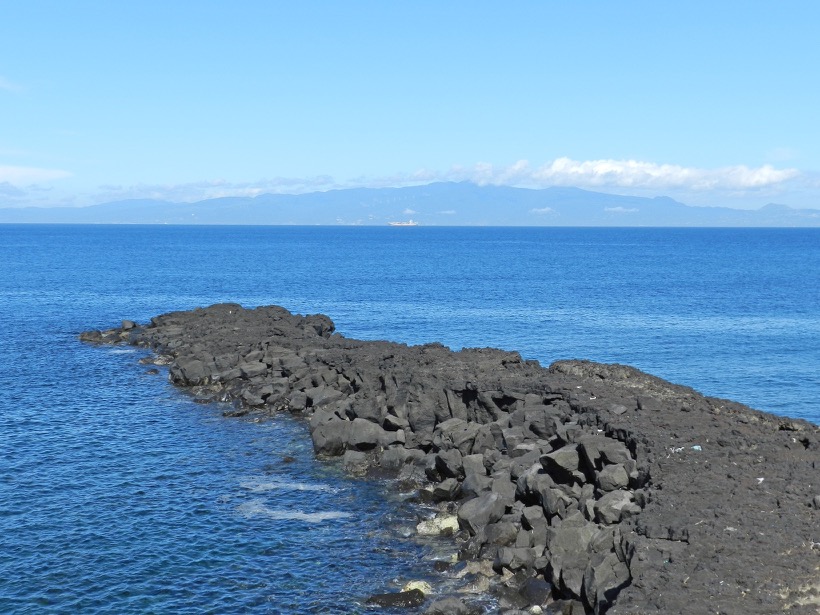
In 1338, a massive fissure eruption took place on the north-western flank of the outer rim of the mountain. From the fissure, several lava flows flowed down the valley to the sea, covering most of what is now Motomachi.
This lava flow, which juts out about 100m into the sea, is also a lava flow that flowed down and solidified, filling a small valley at that time. The soft earth and sand on either side of the valley were eventually scoured away by the waves, leaving only the hard lava as a headland. At the time of the eruption, the land stretched for about 100 m further than it does now.
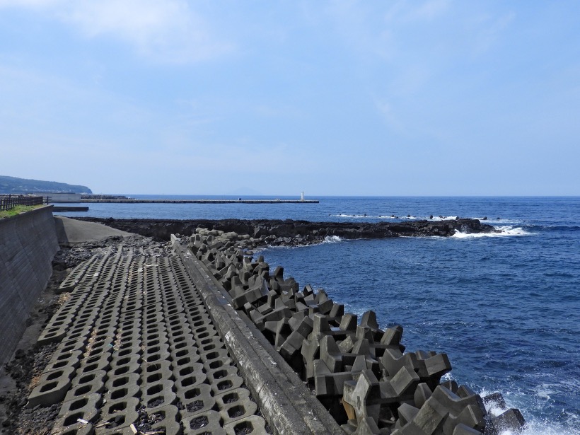
Nagane and Motomachi Jetty
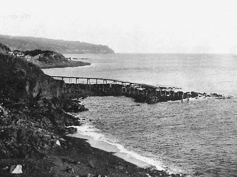
Use as a jetty